Garland Pennison, PE recently defended his doctoral dissertation research related to coastal road reliability. Garland’s dissertation, “Assessing Coastal Road Reliability Using Celerity Dispersion Functions,” presents new methods for characterizing the vulnerability of coastal highways to extreme events. Garland’s work uses the outputs from high fidelity numerical model simulations of extreme events, which are integrated over the duration of the event to create cumulative intensity measures that describe road damage locations and damage severity. Garland’s work has uncovered a very interesting correlation between cumulative wave celerity dispersion predicted by either water surface elevation or peak wave period, with the answers being extremely similar to one another. Furthermore, development and application of a cumulative pseudo-Froude number does an excellent job predicting not only the road locations that are most likely to fail, but also the severity of damage. Some of Garland’s dissertation products are listed and linked below and a forthcoming manuscript is in preparation for a peer-reviewed journal. Once available, Garland’s final approved dissertation will be linked in the list of materials below. In the meantime, please consider watching Garland’s dissertation defense recording below.
- Pennison, G.P. 2018. Predicting Coastal Roadway Damage using Modified Dispersion Functions. Center of Excellence for Risk-Based Community Resiliency Planning, First Place Award in the Graduate and Post-Doctoral Competition; Awarded 4 May 2018. (link)
- Pennison, G.P., Cloutier, R.J., and Webb, B.M. 2018. Local Coastal Roads—Next Generation. Proceedings of the 2018 Industrial and Systems Engineering Conference. K. Baker, D. Berry, C. Rainwater, eds. 6 pp. (link)
- Pennison, G.P., and Webb, B.M. 2018. Coastal Roads: Using Failure to Strengthen Resiliency. 2018 National Coastal Conference, American Shore and Beach Preservation Association (ASBPA 2018) Resilient Shorelines for Rising Tides, Galveston, TX. (link)
- Pennison, G.P., Webb, B.M., Padgett, J., and Gidaris, I. 2018 . Predicting Coastal Roadway Damage using Modified Dispersion Functions; Pennison. 36th International Conference on Coastal Engineering (ICCE 2018), Baltimore, MD. (link)
- Pennison, G.P., and Webb, B.M. 2019. Using Coastal Road Failures to Improve Resiliency. 2nd International Conference on Transportation System Resilience to Natural Hazards and Extreme Weather (Transportation Research Board of The National Academies of Sciences, Engineering, and Medicine), Washington, DC. (link)
- Pennison, G.P., and Webb, B.M. 2020. Coastal Road System Failures: Cause and Effect. Proceedings of the 2020 Industrial and Systems Engineering Conference. L. Cromarty, R. Shirwaiker, P. Wang, eds. 6 pp. (link)
- Pennison, G.P., and Webb, B.M. 2020. Transdisciplinary Systems Thinking: Sustainability of Coastal Systems. Proceedings of the 2020 Industrial and Systems Engineering Conference. L. Cromarty, R. Shirwaiker, P. Wang, eds. 6 pp. (link)
- Pennison, G.P. 2020. A Systems Approach for Evaluating Coastal Road System Reliability Using Cumulative Celerity Dispersion Functions. Dissertation, University of South Alabama. (link)
- Darestani, Y.M., Padgett, J.E., Webb, B.M., Pennison, G.P., and Fereshtehnejad, E. Fragility Analysis of Coastal Roadways and Performance Assessment of Coastal Transportation Systems subjected to Flood Hazards. J. Performance Constructed Facilities (in review).
- Pennison, G.P., Webb, B.M., Cloutier, R., Smallegan, S.M., and Steward, E. Assessing Coastal Road System Reliability using Celerity Dispersion Functions. Coastal Engineering Journal, Special Issue (in preparation).
*Garland’s work was conducted as part of the National Institute of Standards and Technology (NIST) Center of Excellence for Risk-Based Community Resilience Planning under Cooperative Agreement 70NANB15H044 and 70NANB20H008 between the NIST and Colorado State University. The content expressed in these works are the views of the authors and do not necessarily represent the opinions or views of NIST.
We have two new research projects starting soon and both provide funding for research assistants at various academic levels. One of the projects, funded through the RESTORE Act, will focus on the hydrodynamics and water quality within a coastal lagoon. That project will involve fieldwork and hydrodynamic modeling and will support one MSCE student and one postdoc position. The other project, funded by the US Coastal Research Program, aims to develop systems engineering approaches that improve community resilience to coastal hazards. That project will support two PhD students in our Systems Engineering program. Position requirements are summarized below. Those interested in the positions below should send me a cover letter and resume/CV by email ([email protected]). Please be sure to state in your cover letter which position you are seeking.
- Postdoc Position (1): The ideal candidate will possess a PhD in coastal engineering, oceanography, marine science, or a closely related field. Candidates should have a strong background in programming (e.g., MATLAB, R, Python, etc.), GIS, spatio-temporal data analysis, and the ability to prepare and apply hydrodynamic models. Familiarity with Delft3D is preferred but not required. This position will be expected to assist with fieldwork (in/on water).
- PhD Positions (2): The ideal candidate will possess a MS degree in coastal engineering or a closely related field. Acceptable candidates will have some knowledge of contemporary coastal resilience issues, extreme events, climate change, and civil engineering infrastructure. Experience with programming (e.g., MATLAB, R, Python, etc.), familiarity with GIS, and a strong background in probability and statistics are required. Some experience applying hydrodynamic models is preferred but not required. Students should understand that their PhD will be in Systems Engineering with an emphasis on the natural and built coastal environments. These positions are limited to US citizens only.
- MSCE Position (1): The ideal candidate will possess a BS degree in civil engineering, environmental engineering, marine science, or closely related field. A complete understanding of probability and statistics is necessary. The ability to perform fieldwork (in/on the water) is required for this project. Familiarity with programming, GIS, modeling, data analysis, and research experience are preferred but not required.
If you clicked on the “Get the Poster” QR code during the AGU Ocean Sciences Meeting then you likely landed here. You can download or link to any of the three resources mentioned on my AGU OSM 2020 poster. Just follow the links below. Thank you for your interest in our work related to overwashing of Dauphin Island during Hurricane Nate.
If you did not jump here from the poster then you might be wondering what this is all about. Please read the “plain language abstract” text below for a non-technical (as non-technical as I can get) description of this work.
We put sensors on a barrier island before a hurricane in October 2017. Those sensors measured water levels and waves as the storm surge rose and washed over the low-lying barrier island. We also measured barrier island elevations before and after the storm event. The waves eroded sand from the beach face. Some of that sand was carried by the currents and deposited over large portions of the barrier island in features commonly called overwash fans. These measurements are unique. They allow us to describe the change in storm tide elevations and wave heights across the barrier island continuously throughout the storm event. This poster describes only basic characteristics of water levels, waves, and erosion across the island. Time-series analyses are ongoing.
Get the Poster: click here for the poster
Get the Paper: click here for the paper
Get the Data: click here to request the data
We recently completed a two-year collaboration with the USDOT Federal Highway Administration during which we developed a new resource that explains how transportation professionals can implement nature-based solutions to enhance the resilience of coastal highways. The complete implementation guide is available on the FHWA project website (or click on cover image at right). A brief summary is provided below. Additional project resources and reports are also described and linked from the project website, as are the reports from a number of pilot projects conducted around the US.
A webinar is scheduled for October 23, 2019 to assist in the rollout of this new resource. The webinar agenda includes presentations on the new Implementation Guide by Tina Hodges of USDOT FHWA and Bret Webb of the University of South Alabama; an overview of the US Army Corps of Engineers’ Engineering With Nature(R) initiative by Jeff King; and a summary of NOAA resources for nature-based solutions by Kim Penn. Click on this link for more information and to register for the webinar (required).
This Implementation Guide is designed to help transportation practitioners understand how and where nature-based and hybrid solutions can be used to improve the resilience of coastal roads and bridges. Upfront, it summarizes the potential flood-reduction benefits and co-benefits of these strategies. From there, the guide follows the steps in the project delivery process, providing guidance on how to consider nature-based solutions in the planning process, how to conduct a site assessment to determine whether nature-based solutions are appropriate, key engineering and ecological design considerations, permitting approaches, construction considerations, and monitoring and maintenance strategies. The guide also includes appendices with site characterization tools, decision support for selecting nature-based solutions, suggested performance metrics, and links to additional tools and resources.
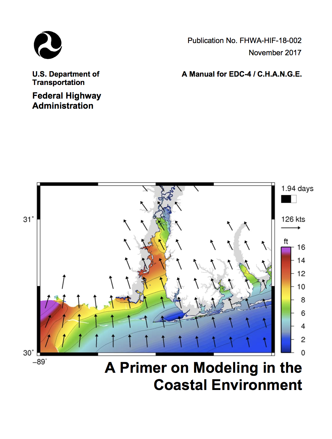 I recently completed a document that introduces transportation professionals to coastal modeling. The guidance document, entitled A Primer on Modeling in the Coastal Environment, was written for the U.S. Department of Transportation Federal Highway Administration. It is now available for distribution. You can download a copy of the manual by clicking on the cover image at right. The document abstract/summary is provided below.
Document Summary
This manual provides an introduction to coastal hydrodynamic modeling for transportation engineering professionals. The information presented in this manual can be applied to better understand the use of numerical models in the planning and design of coastal highways.
Here, the term “coastal highways” is meant to generally capture the roads, bridges, and other transportation infrastructure that is exposed to, or occasionally exposed to, tides, storm surge, waves, erosion, and sea level rise near the coast. The hydrodynamic models that serve as the focus of this manual are used to describe these processes and their impacts on coastal highways through flooding, wave damage, and scour.
The primary audience for this manual is transportation professionals ranging across the spectrum of project delivery (e.g., planners, scientists, engineers, etc.). After reading this manual the audience will understand when, why, and at what level coastal models should be used in the planning and design of coastal highways and bridges; and when to solicit the expertise of a coastal engineer. This manual provides transportation professionals with the information needed to determine scopes of work, prepare requests for professional services, communicate with consultants, and evaluate modeling approaches and results.
The manual also provides guidance on when and where hydraulic and hydrodynamic models are used, and how they are used to determine the dependence of bridge hydraulics on the riverine or coastal design flood event.
The manual also gives recommendations for the use of models in coastal vulnerability assessments.
